|
The Maps Page
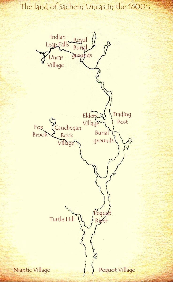
The land of Sachem Uncas in the 1600's
The maps that will you find on these web sites will enable you to visualize time and place in American Native country.
Your study in Cartography might begin with this from Columbia University: A selective timeline of maps to 1860
This map may be the first published of the Western Hemisphere and is from William Hubbard's The present State of New-England, being a Narrative of the Troubles with the Indians printed and published by Foster in Boston in 1677: The Massachusetts Historical Society Did you know this about Harvard University? This is the data collection center for the USGS. An excellent collection of historical maps from the University of Georgia. Hargrett Library Rare Map Collection The outstanding Perry-Castañeda Library Collection of Historical Maps of the United States from the University of Texas at Austin. Historical Maps of United States Ray Sterner of the Johns Hopkins University, Applied Physics Laboratory, created this stunning work: The name Mni Sose is Lakota for Missouri River and it is the home of 28 Indian Nations. The Missouri River Basin Tribes These maps of the individual states Reservations come from the Department of the Interior. Printable Maps of Federal Lands and Reservations USGS United States Topographic Map, Scaled 1:1,000,000. A very good place to explore the world of Geography: Vogeler's American Indian Landscapes An interesting Government look at the Nations in the West circa 1875:
Click on me to send an email to tahtonka.com
Web Site Design by: Last edited February 4, 2009 Copyright © 1998 - 2009 tahtonka.com All rights reserved. |
